Piccadilly Pineapple Adventure Trail

Central and Western Massachusetts Adventure Route

Welcome to the Piccadilly Pineapple Adventure Trail Group!
The PPAT is a collection of roads that travel through some of the most amazing scenery in Massachusetts. This is a self-guided tour of “adventure” roads that you download (GPX tracks) and you follow. This is a collection of backcountry paved roads, easy gravel roads and if you want you can add the select few “hero” or “expert” sections that are provided to challenge your riding skills.
The Route, roads and what to expect.
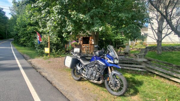
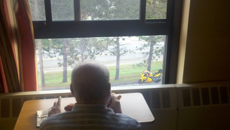
All the roads are legal MA state roads so you will need a plated vehicle to complete this route. Your friends in Jeeps or other 4×4 vehicles are also invited to use this system of roads to travel. This is not a 100% dirt route, there are paved sections throughout, however almost all the paved roads are nice back roads that are twisty and provide some great scenery of Central and Western MA. Total miles for the entire loop is 556 miles
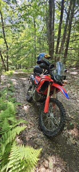
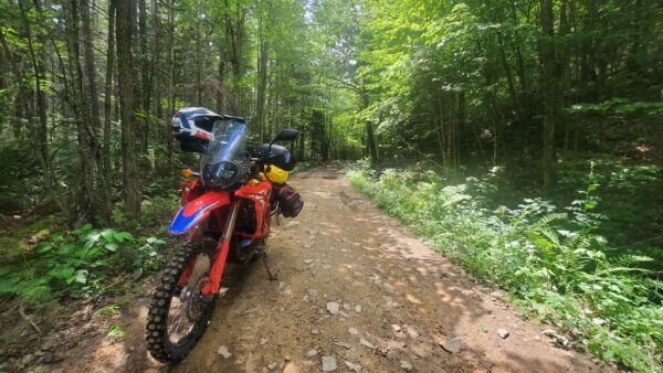
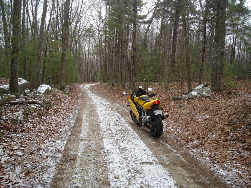
Most of the dirt roads are “big bike friendly” however you should have some sort of dirt road experience if you plan on riding this route. Weather conditions can and have changed some of these small unmaintained roads in western MA. There are a few sections that are closed in the wintertime so make sure you are familiar with following your gps if you come to a closed section. The route is broken into sections or days. Each day is a separate gps track. There are add on tracks listed for some of the days that are harder roads. If you don’t want to ride on these hard roads, you just need to download each day and skip those add ons. If you are using Garmin mapsource or basecamp the hard sections will be in red, and the regular route is in green.
How long does it take to do the route?
My original plan was to make this a long weekend type ride. Where this trail differs from some other familiar style rides is that it’s a loop ride. You can start at any point and in 4 days complete the loop. Each section is roughly 150-170 miles long and ends in an area with lodging and food choices. Also unique to the PPAT we have chosen some mountain tops to be the Start/End points to each section. Wachusett Mountain, Mount Greylock, Sugarloaf Mountain and Poet’s Seat Tower to name a few. The GPX files will have many Hotels listed along the route to choose from, as well as countless restaurants and other points of interest to checkout. The route officially starts/ends at the Summit of Mount Wachusett in Princeton MA, which is a toll road but worthy of the $ to ride to the top.
Where do I get the GPX track?
The top of this page you will see a list of topics to choose. One is Files, click on that and you should see the route. It’s a gpx file with the whole route and will also have a list of waypoints. Also you can send me a PM with your Email and I can send you the file. I will have a page on my website soon with some info on this adventure as well.
All that’s left to do is RIDE!
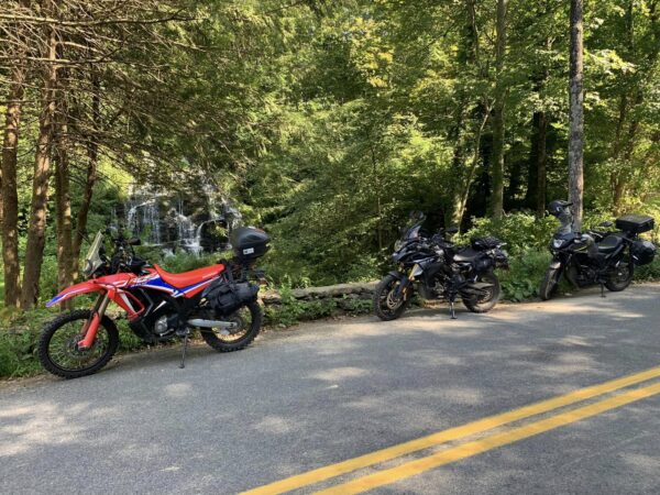
Well, 1st thing is to join this group, then get out and ride! This group was created to help share this awesome route and also for people to share their experiences along the route. So welcome to the PPAT and please post some photos and videos of your ride. We will have stickers available to put on your bike, jeep or camper. Thank you for being a part of this great adventure and please share this group with all your FB friends and other ADV groups..