Piccadilly Pineapple Adventure Trail

Welcome to the Piccadilly Pineapple Adventure Trail Group!
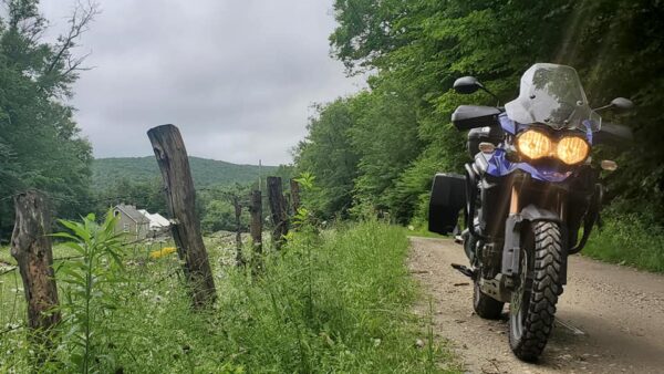
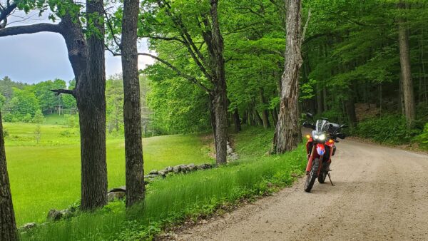
The PPAT is a collection of roads that travel through some of the most amazing scenery in Massachusetts. This is a self-guided tour of “adventure” roads that you download (GPX tracks) and you follow. This is a collection of backcountry paved roads, easy gravel roads and if you want you can add the select few “hero” or “expert” sections that are provided to challenge your riding skills.
The Route, roads and what to expect.
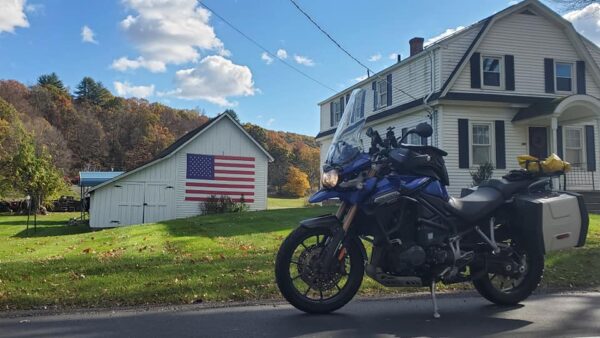
All the roads are legal MA state roads so you will need a plated vehicle to complete this route. Your friends in Jeeps or other 4×4 vehicles are also invited to use this system of roads to travel. This is not a 100% dirt route, there are paved sections throughout, however almost all the paved roads are nice back roads that are twisty and provide some great scenery of Central and Western MA. Total miles for the entire loop is 556 miles
Most of the dirt roads are “big bike friendly” however you should have some sort of dirt road experience if you plan on riding this route. Weather conditions can and have changed some of these small unmaintained roads in western MA. There are a few sections that are closed in the wintertime so make sure you are familiar with following your gps if you come to a closed section. The route is broken into sections or days. Each day is a separate gps track. There are add on tracks listed for some of the days that are harder roads. If you don’t want to ride on these hard roads, you just need to download each day and skip those add ons. If you are using Garmin MAPSource or basecamp the hard sections will be in red, and the regular route is in green.
How long does it take to do the route?
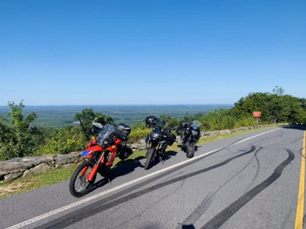
My original plan was to make this a long weekend type ride. Where this trail differs from some other familiar style rides is that it’s a loop ride. You can start at any point and in 4 days complete the loop. Each section is roughly 150-170 miles long and ends in an area with lodging and food choices. Also unique to the PPAT we have chosen some mountain tops to be the Start/End points to each section. Wachusett Mountain, Mount Greylock, Sugarloaf Mountain and Poet’s Seat Tower to name a few. The GPX files will have many Hotels listed along the route to choose from, as well as countless restaurants and other points of interest to checkout.
The Route
Section 1– The route officially starts/ends at the Summit of Mount Wachusett in Princeton MA, which is a toll road but worthy of the $ to ride to the top. The day ends at the Top of Sugarloaf Mountain in Deerfield MA. The route takes you thru some small New England Villages and some very nice little parks. Barre Falls Dam State Park, Wendell State Forest and finally ending at South Sugarloaf Mountain Observation Tower. There are several lodging options in Deerfield and nearby Greenfield. Also look for a few Airbnb locations along this route.
Section 2– Sugarloaf Mountain to Mount Greylock in Adams MA. The route travels thru some beautiful back roads of Western MA with stops at Glendale Falls, Bridge of Flowers and Mass Audubon’s High Ledges Wildlife Sanctuary and a few other spots to explore along the way. The route will end at the summit of Mount Greylock where you need to go explore the top of the Veterans War Memorial Tower. Lodging choices are plenty in Williamstown and North Adams, as well as the Bascom Lodge on the top of the mountain.
Section 3– Mount Greylock to Poets Seat Tower in Greenfield MA- The route travels northeast from Adams MA and dips into Southern Vermont for just a short bit. Actually, the route crosses the Vermont border two times on this day. Great food choices on this day include (but certainly not limited to) Readsboro General Store, Berkshire Pizza, Jacks Hot Dog Stand and ZA hot Slice Pizza, Blueberry Haus Ice Cream to name just a few. The route ends Greenfield with a stop at the Poets Seat Tower overlooking to bustling little city to the west. Lodging choices can be found in Greenfield, Erving and Bernardston MA
Section 4- Poets Seat Tower to Mount Wachusett in Princeton MA. Completing this 550-mile loop will bring you right back to where your journey began in Central MA. However, before you reach Mount Wachusett you will follow some of the best little dirt roads around northern Central MA. If you want to test your skills you will have the opportunity to ride on Falls Road in Royalton, which does put you into NH for a very brief moment. However, Falls Road is not an easy road by any means, its full of baby head rocks, steep climb down then a water crossing at the bottom followed by another steep climb up!
Where do I get the GPX track?
The easiest way to get the files is to join our FB group for the PPAT, which you can find here
https://www.facebook.com/groups/266173069215253/
At some point I will have files that you can download right from this site, however until that happens you can email me directly at Oldstonejim@gmail.com You can also find information on this route on the ADV rider Message board, simply do a quick search for the Piccadilly Pineapple Adventure Trail there and you should find lots of info on it.
All that’s left to do is RIDE!
Well, 1st thing is to join the Facebook group, then get out and ride! This route and group were created with help from my two good friends David Marrier and Ken Matson, they both were instrumental in the planning and pre riding of this fabulous route. We started the FB group in hopes that people will ride and share photos, videos and stories over the years of traveling the Piccadilly Pineapple Adventure Trail. So welcome to the PPAT and please post some photos and videos of your ride. We will have stickers available to put on your bike, jeep or camper. Thank you for being a part of this great adventure and please share this group with all your FB friends and other ADV groups.!